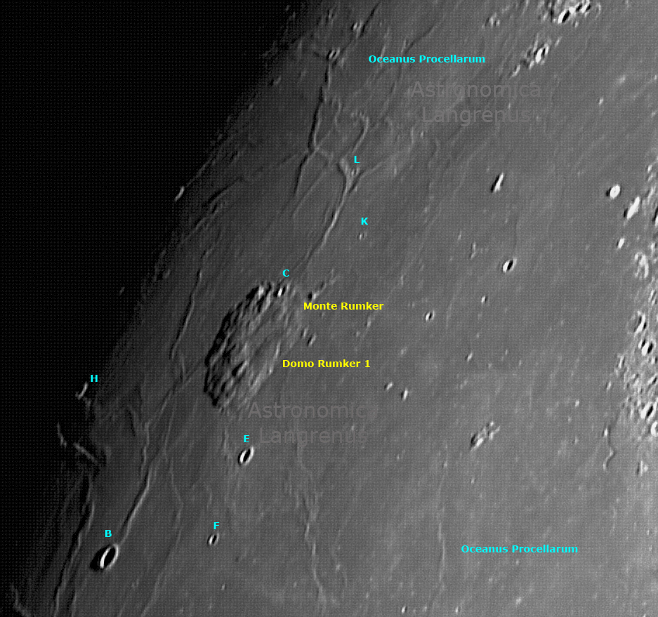
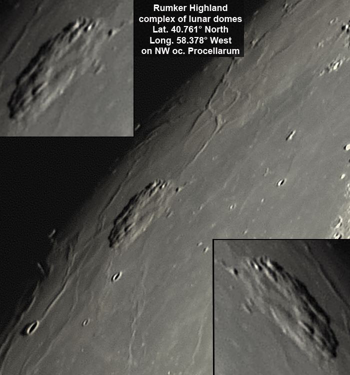
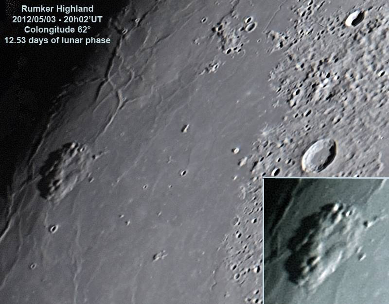
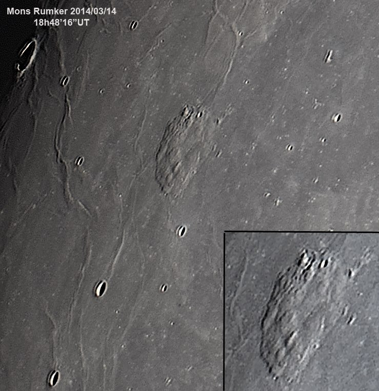
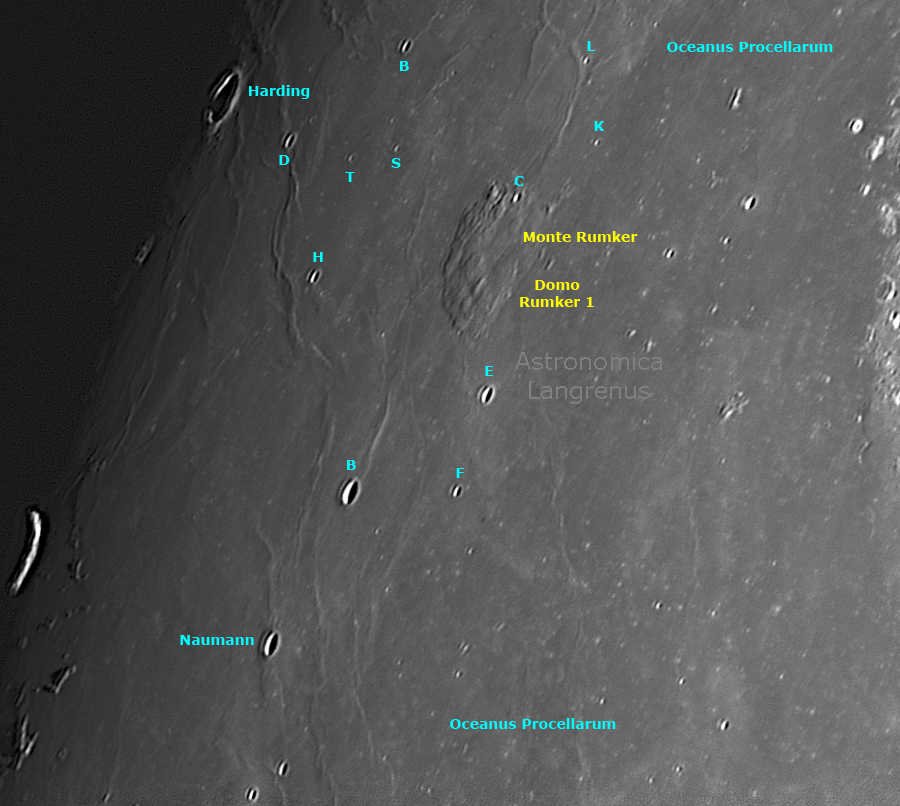
Nel settore settentrionale dell'Oceanus Procellarum si innalza una grande struttura geologica denominata Monte Rumker, le cui dimensioni sono 71 x 71 km, non è nota l'altezza. Si tratta di un vero e proprio agglomerato di domi raggruppati in un vasto altopiano. La principale struttura vulcanica è nota col nome di "Rumker 1", con dimensioni di 62 x 62 km - Mons Rumker is a complex of several lunar domes, an highland 71 km diameter and 1100 mt high, latitude 40.761° north and longitude 58.378° west, located on northwest sector of oceanus Procellarum. Images obtained 2017/07/06 at 20h28'42"UT with a 255mm F20 Maksutov Rumak telescope and camera Imaging Source DBK41 resolution 1280x960. Exp. 3'20" x 1/8" at 7,5 fps. No filters and no Barlow lens. Stacked 600/1500 frames. Processed with Autostakkert, Registax, Photoshop. Colongitude 64.4°, 12.75 days of lunar phase, high +24°. Unfortunately the seeing was very bad.
| Mappa n° 01 (vedi sotto): |
 |
